 The GIS Tools for Hadoop are a collection of GIS tools that leverage
the Spatial Framework for Hadoop
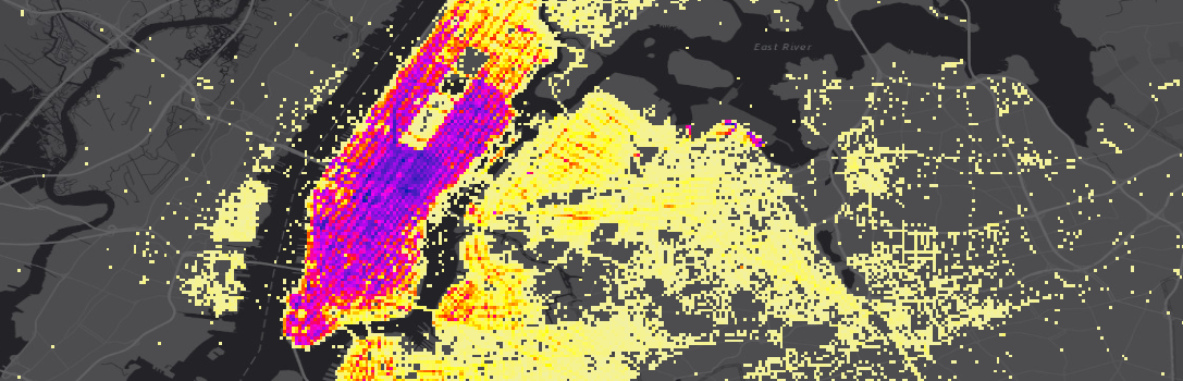
for spatial analysis of big data. The tools make use of
the Geoprocessing Tools for Hadoop toolbox,
to provide access to the Hadoop system from the ArcGIS Geoprocessing environment.
The GIS Tools for Hadoop are a collection of GIS tools that leverage
the Spatial Framework for Hadoop
for spatial analysis of big data. The tools make use of
the Geoprocessing Tools for Hadoop toolbox,
to provide access to the Hadoop system from the ArcGIS Geoprocessing environment.
- Sample: direct use of Enclosed and Unenclosed Esri- and Geo- JSON InputFormats
- Update: use updated non-deprecated names
EsriJsonSerDeandEnclosedEsriJsonInputFormatin samples after having added support for GeoJSON - Tutorial: An Introduction for Beginners
- Sample tools that demonstrate full stack implementations of all the resources provided to solve GIS problems using Hadoop

Resources for building custom tools
- Esri Geometry API Java - Java geometry library for spatial data processing
- Spatial Framework for Hadoop
- Java helper utilities for Hadoop developers
- Hive spatial user-defined functions
- Geoprocessing Tools - ArcGIS Geoprocessing tools for Hadoop
Start out by navigating to samples and following the instructions provided with each sample.There are also tutorials for using the GP tools and aggregation methods.
Requirements will differ depending on the needs of each tool. At a minimum, you will need:
- Access to an Apache Hadoop cluster
- ArcGIS for Desktop or Server for geoprocessing and visualization
Other requirements may include:
- Apache Hive in order to run Hive queries
- Apache Oozie Workflow Scheduler for workflow scheduling
Additional requirements will be spelled out by individual tools.
- GeoData Blog on the ArcGIS Blogs
- Big Data Place on GeoNet
- ArcGIS Geodata Resource Center
- ArcGIS Blog
- twitter@esri
Find a bug or want to request a new feature? Please let us know by submitting an issue.
Esri welcomes contributions from anyone and everyone. Please see our guidelines for contributing
Copyright 2013-2019 Esri
Licensed under the Apache License, Version 2.0 (the "License"); you may not use this file except in compliance with the License. You may obtain a copy of the License at:
http://www.apache.org/licenses/LICENSE-2.0
Unless required by applicable law or agreed to in writing, software distributed under the License is distributed on an "AS IS" BASIS, WITHOUT WARRANTIES OR CONDITIONS OF ANY KIND, either express or implied. See the License for the specific language governing permissions and limitations under the License.
A copy of the license is available in the repository's license.txt file.


